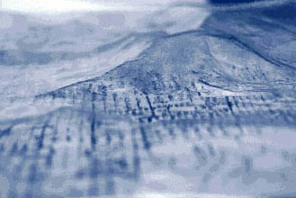
CONTOURS OF THE CITY is a three dimensional representation of the sediment package or "isopach". In order to illustrate the creation, mobility and instability of this isopach, we sandwiched together two molded contour maps reflecting San Francisco's geomorphology. The uppermost is the surface contour of the City; the bottom map is a 3-D representation of the surface of the basement rocks, which underly the sediment package. At the City's rocky highpoints the two surfaces are contiguous, while elsewhere the negative space between the two represents the space filled in by the sediments.
We fill this negative space with facsimiles of sand and water. By a slight tilting of the model in various angles, the visitor can follow the path of sand and water as these fluid materials move through the valleys and subsurface of the City. In this way, we hope to give the visitor a visceral sence of the geologic processes at work in forming the terrain that so influences land use and history.
